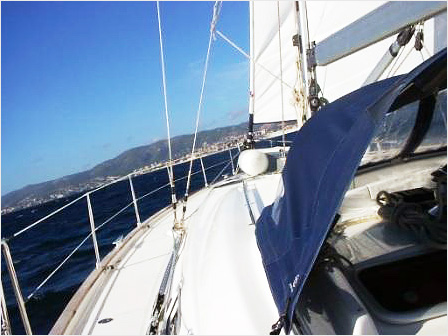
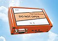
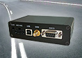
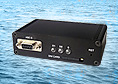


KAPI sea
KAPI sea is an innovative diagnostic system for vessels and provides objective data for the investigation of damage and prevention of secondary damage. KAPI Sea uses GPS to detect the position of the boat along with configurable geo-fencing to protect the boat from theft.
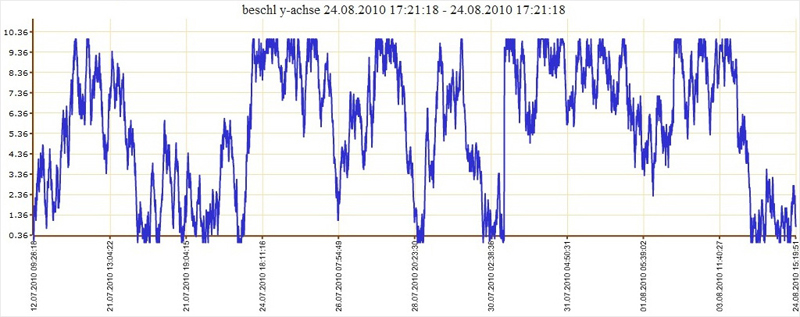
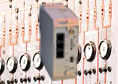
Specially designed for the maritime sector, a special sensor in the KAPI sea records the three-dimensional shock (docking, grounding, ramming, vertical stresses). This allows extreme material stresses due to "hard" and are assigned to naval operations.
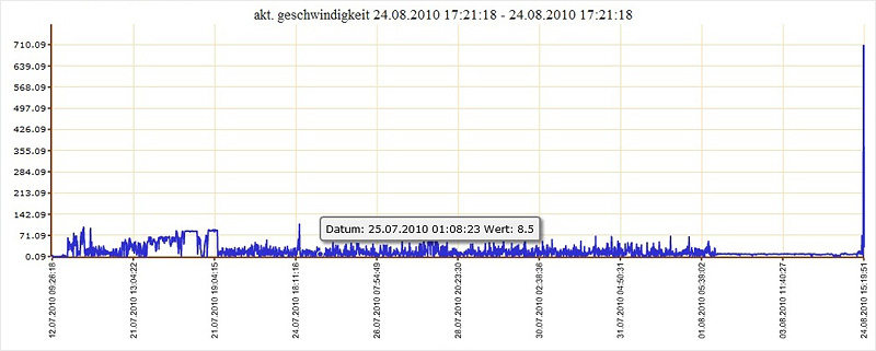
KAPI sea captures, stores and forwards the following data:
- Force and acceleration measurements
- Compression and tension forces
- Temperature
- Door opened/closed
- Burglar alarm
- Motor ON / OFF
- Travel YES / NO
- Fire
- Flooding
- Gas outlet
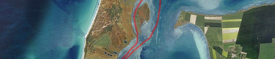
KAPI sea’s position identification via satellites to within a few meters, helps determine the current location and routes traveled. The location and routes can be applied to virtually all electronic maps for visualization.
KAPI sea’s small size (110x60x30) any watercraft integrate and protects due to its low energy consumption, the onboard batteries.
Additional Highlights
- Docking control through Geo-fencing
- Integrated accelerometer
- Better control upon arrival and docking
- Alarm message with "Due to" run
- Remote switching via SMS or Web interface